REGISTRATION IS NOW OPEN
Saturday October 14, 2023
Cucamonga Peak hike
Very strenuous. Distance: 13.5 miles, Elevation gain: 4300 ft.
Please read this entire description before registering for the hike! Important safety and logistical information below.


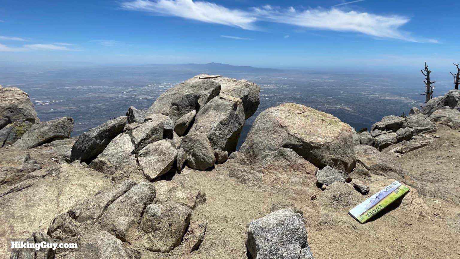
For October we’re tackling one of the most popular and challenging hikes in the San Gabriels – climbing to the 8862-foot summit of Cucamonga Peak. Besides being filled with beautiful alpine scenery, Cucamonga also boasts the clearest, furthest view south off the entire mountain range. Even better than the view off Wilson, Baden-Powell, and even Baldy. On a clear day you can see Long Beach harbor and the Santa Ana Mountains, all while the cities of Claremont and Upland are right below you at the base of the mountain.

We will meet at the Icehouse Canyon parking lot (20 Icehouse Canyon Rd is what you can put in the nav) by the trailhead at 7:00am. Yes, that’s early – but this trail is so popular that even at 7:00 it’s very likely we’ll all be parking along the shoulder of the road some distance from the actual trailhead. Late arrivals get bonus miles, and this hike is already long enough! Tip: If you have to park on the side of the street, try to park downhill of the parking lot. You will appreciate that at the end of the hike. Note that if you are fortunate enough to get an actual parking spot in the lot, an Adventure Pass or other qualifying pass needs to be displayed in your vehicle. If you end up out on the shoulder of the road, you won’t need it.
We’ll take roll at 7:20 and then proceed up the Icehouse Canyon trail. Roughly a mile in, we’ll take the left turn onto the Chapman Trail. Although the Chapman Trail adds about a mile and a half to the total hike distance, the views from there are superior to anything you can see from the main Icehouse Canyon trail, which spends its first half in the bottom of the canyon. Once the two trails re-merge, it’s only a short distance to the crossroads of Icehouse Saddle, where we will regroup and take a break. From the Saddle it’s another two-and-a-half miles to the summit of Cucamonga, and all of the steepest climbs on this hike await us on this stretch. Once at the top we’ll take the obligatory selfies with the summit sign and with that amazing southward view in the background and eat lunch. The return trip is nearly all downhill, and we’ll skip the Chapman Trail for the descent.

As always on Great Outdoors hikes, we recommend having the ten essentials (list here: https://docs.google.com/document/d/1QIjEn0BQvPDH_5bSThKYl4or02Ncu5XQTun5VywOIo4/edit?usp=share_link). In particular bring lunch and snacks, enough water (2-3 liters) and electrolytes, sunscreen, and a hat if you wear one. Also bear in mind that this hike goes above 8000 feet during its most strenuous section. If you have any history of altitude sickness and/or don’t know if you get it, we strongly advise taking medication for it ahead of time (if you know it works) or skipping this hike. Anyone experiencing symptoms of altitude sickness will be asked to return to the trailhead immediately.

Reach out to Matthew Bokach at [email protected] with any questions. You can see plenty of photos, the vertical profile, and a more detailed hike description here (with the caveat that he does not include the alternate Chapman Trail route): https://hikingguy.com/hiking-trails/los-angeles-hikes/cucamonga-peak-hike/ .